For the past 20-plus years, State Road 60 has been the main artery to Brandon’s heart, albeit a regularly clogged one. But it wasn’t always like this. In fact, the whole street started as just a 9-foot wide stretch of dirt road.
Back when only a few hundred people called the area east of Tampa home, SR 60 was named Hopewell Road, and the community we know as Brandon was called New Hope. History credits John Brandon with the town’s renaming. Well over a century later, the once hilly and sandy State Road 60, notorious for swallowing tires and stranding heavy vehicles, is now synonymous with Brandon.
1857
Mississippi-native John Brandon purchases 160 acres of land near the present day Lithia-Pinecrest Road and State Road 60. The area would be referred to as New Hope. He relocates several times after this, but keeps this homestead.
1874
After a series of mishaps, Brandon once again makes New Hope his permanent home, and purchases another 500 acres. Not long after, he donates a large portion of his land so the community can build a school, church and cemetery.
1886
John Brandon dies.
1916
Though it wasn’t Brandon’s first school, the area gets its first elementary and middle school, called the “Two Towers,” between 1914 and 1917. They were built right off Knights Avenue where the current McLane Middle School stands.
1927
The town got its first gas and service station as well as a fresh paving for Hopewell Road, the area’s main strip.
1950
Brandon gets its first variety store right after World War II when new businesses like Scogin’s opens on Parson’s Road.
1956
Perhaps the biggest change of the WWII boom is Hopewell Road’s connection to Tampa’s Adamo Drive. The influx of commuters brought the area’s first subdivision, Hill-Dale Heights, off Kingsway Avenue.
1970s
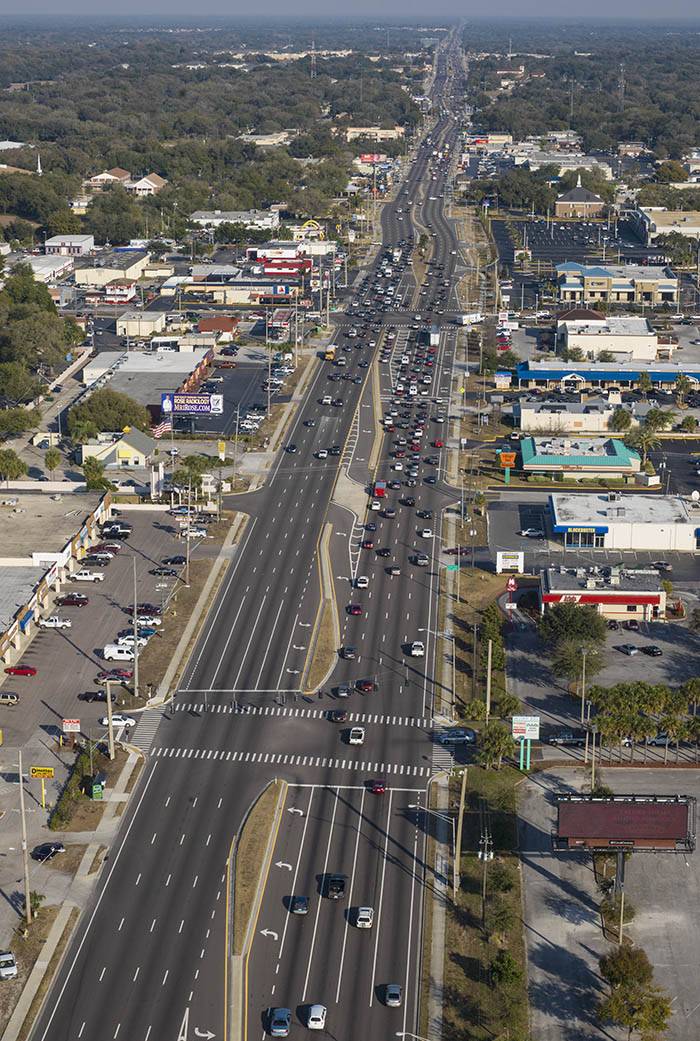
As other communities like Bloomingdale, Dover, Durant, Lithia, Limona, Mango, Seffner, and Valrico sprouted up along SR 60, they too become synonymous with Brandon. In the 1970s, Hopewell Road became four lanes and joined State Road 60 with a new name: Brandon Boulevard. The floodgates were open for commercial and residential developers, and in the following years, Brandon would get a community college, hospital and cultural center. In 1975, Brandon’s population was estimated to be about 45,000, second in growth to only the area surrounding the University of South Florida.
1986
The Interstate 75 connection is built. Today, SR 60 stretches from the Gulf of Mexico to the Atlantic Ocean, providing a corridor right through the heart of Brandon.
1995
Residents get the beautiful Westfield Brandon Town Center, built right along Brandon Boulevard, near the I-75 connection atop a family-owned cattle farm.
Present
The once thin stretch of dirt road lined with citrus groves and a few homes is now the main corridor for nearly 300,000 Brandon residents, making the area one of the fastest growing communities in the state. Not bad for a road that started out smaller than your modern vehicle lane.
_____________________________________________________________________
On the number (design note: make sure there is the number 60 in the graphic for these nuggets)
– A common speed limit, in kilometers per hour, for freeways in urban areas of Russia.
– In darts, the highest score than can be achieved with a single dart.
– In years of marriage, the diamond wedding anniversary.
– The maximum number of marbles or game pieces in Chinese Checkers.
– The code for international direct dial calls to Malaysia.
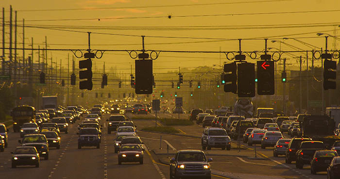
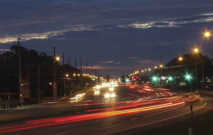
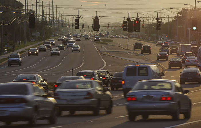
According to the Tampa Bay Business Journal, the intersection at West Brandon Boulevard and Lakewood Drive tops the list of the Bay area’s busiest intersections with approximately 85,000 vehicles passing through each day.
State Road 60 passes through five counties: Pinellas, Hillsborough, Polk, Osceola and Indian River, stretching over 200 miles from Clearwater to Vero Beach.
According to the U.S. Census Bureau, the mean travel time to work for workers 16 years and over was 27 minutes from 2005-2007. Nearly 84 percent of commuters drove alone.
In 2000, the U.S. Census Bureau reported nearly 78,000 people living in Brandon. That number ranked 22nd in the state that year, ahead of more than 800 cities in Florida and nearly 20,000 more residents than 1990. From 2005-2007, the Census Bureau estimated the population was closer to 90,000 residents (not to be confused with the Greater Brandon area, which hovered around 263,000 residents in 2005).
Speaking of the Greater Brandon area, 196 miles and nine ZIP codes are swallowed in this boundary, including the areas running from Seffner through Valrico and into parts of Riverview.
Throughout its passage across the state, SR-60 undergoes about 20 different name changes.
******